Smarter Farming Through Drone Mapping & Crop Intelligence
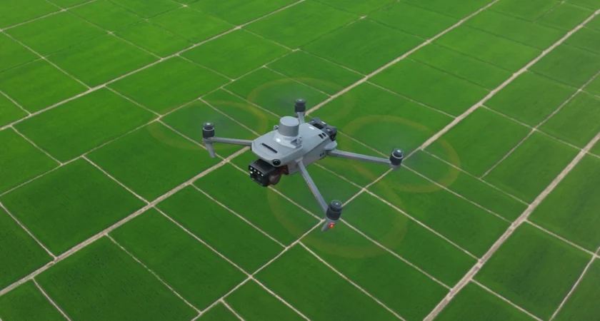
Our drone mapping and crop analysis service using the advanced DJI Mavic 3M drone gives you a clear, accurate picture of what’s really happening across your land. Using advanced multispectral imaging, we capture high-resolution data that highlights crop health, variability and potential issues early—so you can act quickly and precisely.
What we provide:
- High-resolution aerial mapping of fields and crops
- NDVI and multispectral imaging to assess crop health
- Identification of stress zones, poor growth areas and variability
- Data outputs compatible with farm management systems
How it helps your farm:
- Target inputs more accurately with variable-rate application (VRA) maps
- Reduce fertiliser and chemical use by treating only where needed
- Improve crop performance and overall yield
- Monitor crop progress throughout the growing season
Why use drone mapping:
- High-resolution aerial mapping for accurate field insights
- Actionable vegetation index analysis to support better agronomy decisions
- Timely insights to support better decision-making
- Supports more sustainable and cost-effective farming
The Future of Farming is Here
Drones are transforming the way farmers manage their fields. By embracing drone technology, you gain more control, save time, and reduce costs while protecting your land for future generations. Let us help you revolutionise your farming operation and achieve unprecedented results.
Ready to Take Your Farm to the Next Level?
Contact us today to learn more about our drone services and discover how we can help you improve efficiency, reduce delays, and maximise your farm’s potential. Together, we’ll make farming smarter, faster, and more sustainable.